The Rhins coast is a useful place to notice that rock layers have histories of their own. The British Geological Survey describes much of the peninsula through ancient sedimentary rocks, later folding and faulting, and younger landscape processes. A visitor need not identify every formation to begin reading those clues in a coastal view.
Separate the rock from today's shape
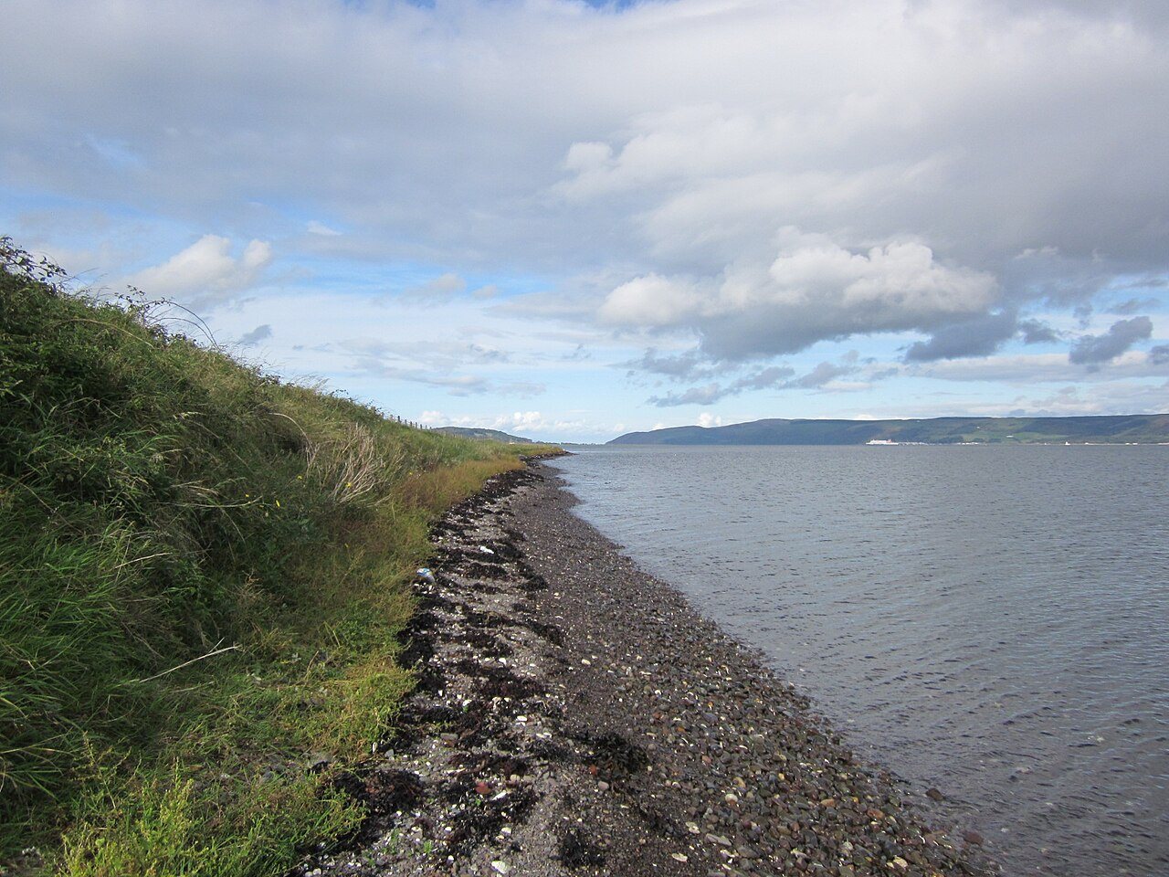
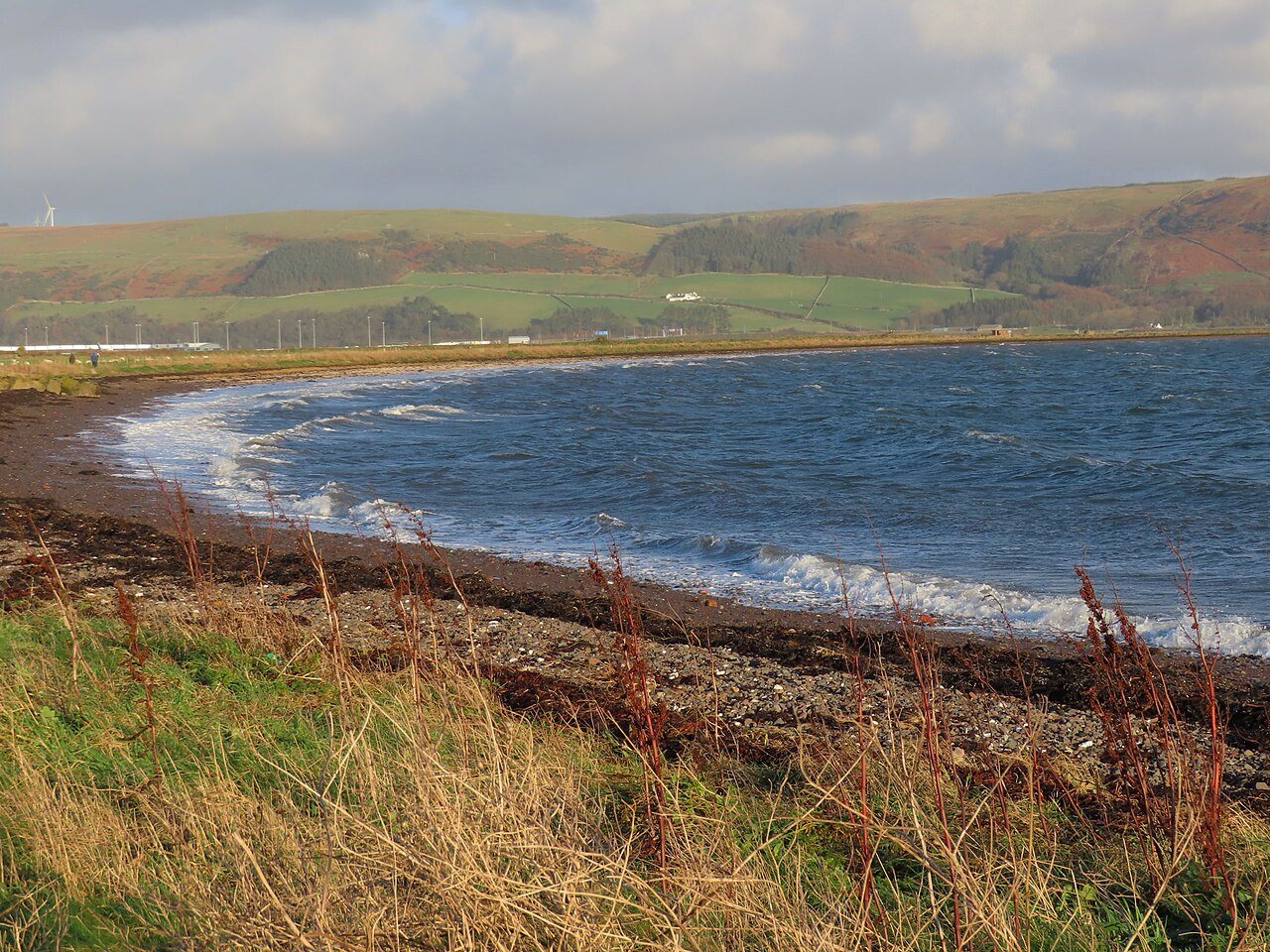
A cliff combines material and form. The rock may be ancient, while waves, weathering and erosion continue to shape its exposed surface. A sandy bay beside a rocky headland therefore tells more than one story: what the ground is made of and how it has been changed.
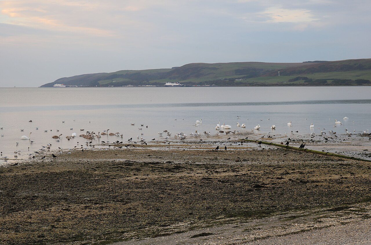
Start with visible contrasts rather than a confident name for every stone. Note whether the shore is sandy, shingly or rocky, whether layers can be seen, and which parts form headlands or recesses. A simple sketch can capture those relationships more clearly than a collection of close-up photographs.
Follow a layer with your eyes
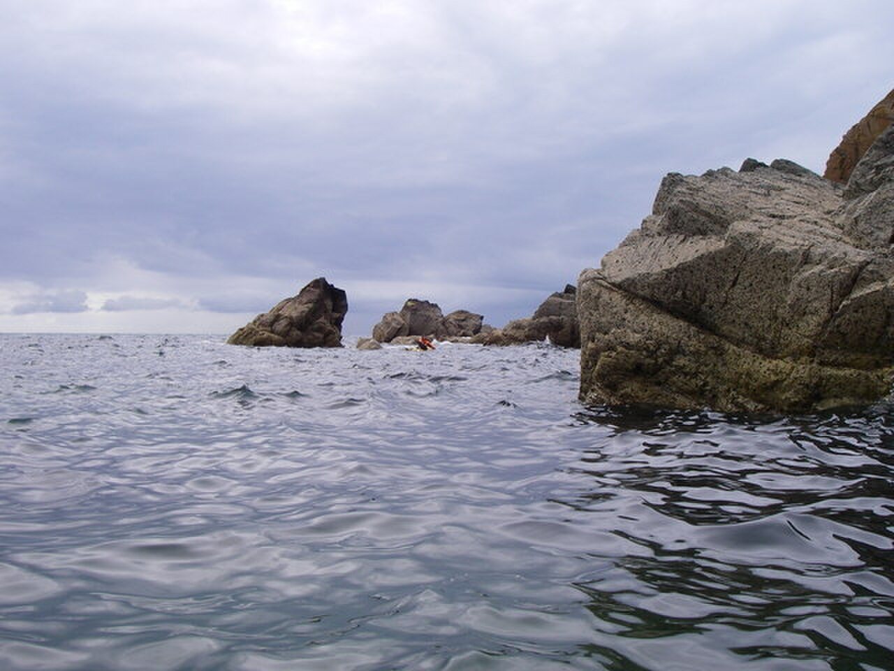
In parts of the Rhins, beds of greywacke sandstone and finer sedimentary rocks are steeply inclined or folded. The survey memoir explains the complex geological structure behind these exposures. A layer that now tilts sharply was not necessarily deposited in that position.
Look from stable ground and trace a visible band through the outcrop. Does it keep a similar angle, curve or appear interrupted? Record an observation before trying to explain it. Do not climb wet rock, approach an unstable cliff or use a hammer to make the evidence easier to see.
Use maps at the right scale
The BGS Geology Viewer can help compare the rocks beneath different parts of the peninsula. Its purpose is geological information, not pedestrian navigation or proof of access. Use a walking map and current route information separately when deciding how to reach a viewpoint.
The detailed Rhins memoir is a scientific publication from 1995. It remains useful for the geological account, while its passing descriptions of transport or local activity should not be treated as current travel advice. Bringing the right question to each source makes it possible to learn from older research without importing outdated visitor information.
A couple of practical questions
Do I need to collect rocks to understand the coast?
No. Observations, sketches and photographs from permitted access can record layers and landforms without removing material or damaging a site.
Can a geology map tell me where I may walk?
No. It identifies geological information. Use current access and route guidance for walking, and respect private property, barriers, tides and unstable ground.