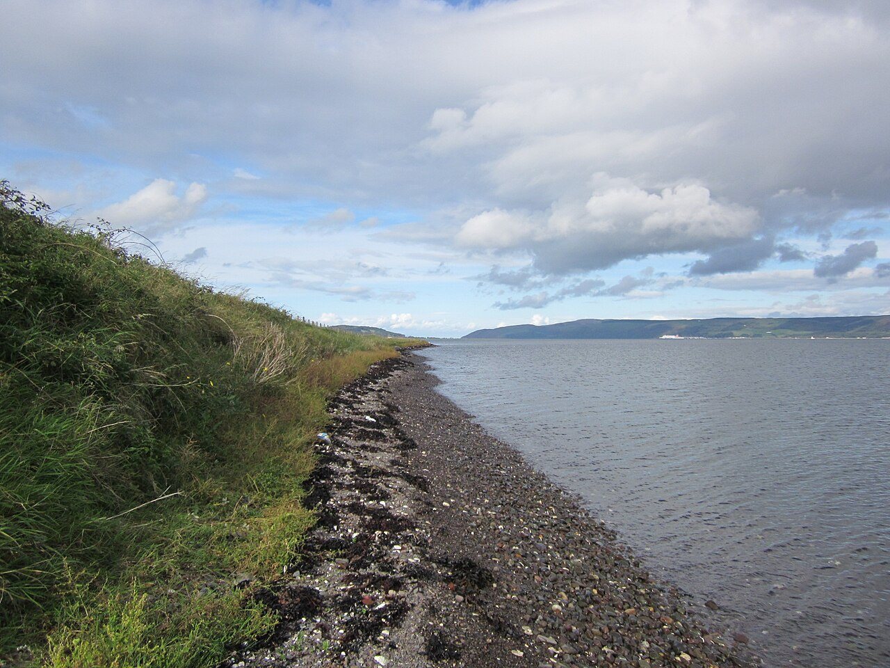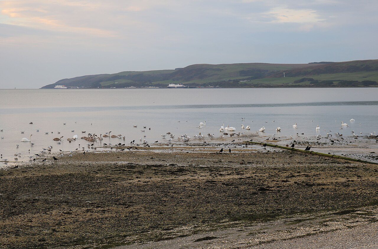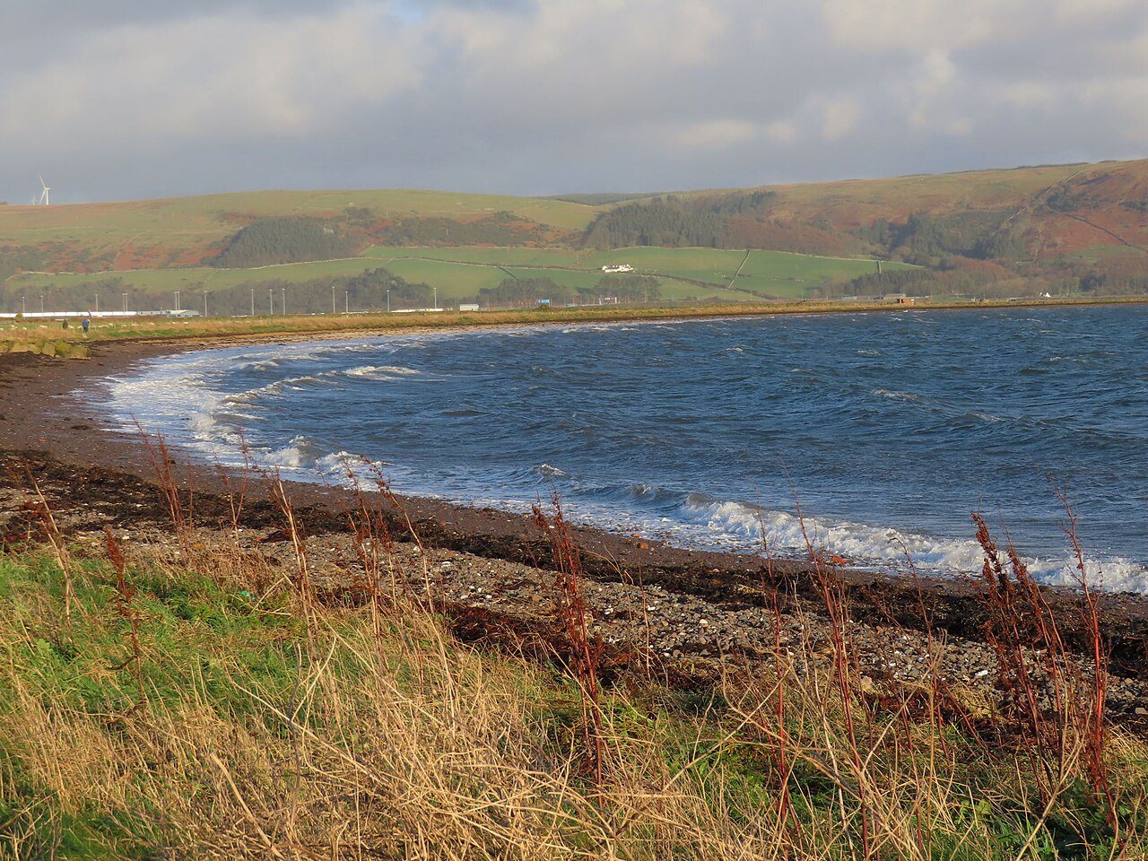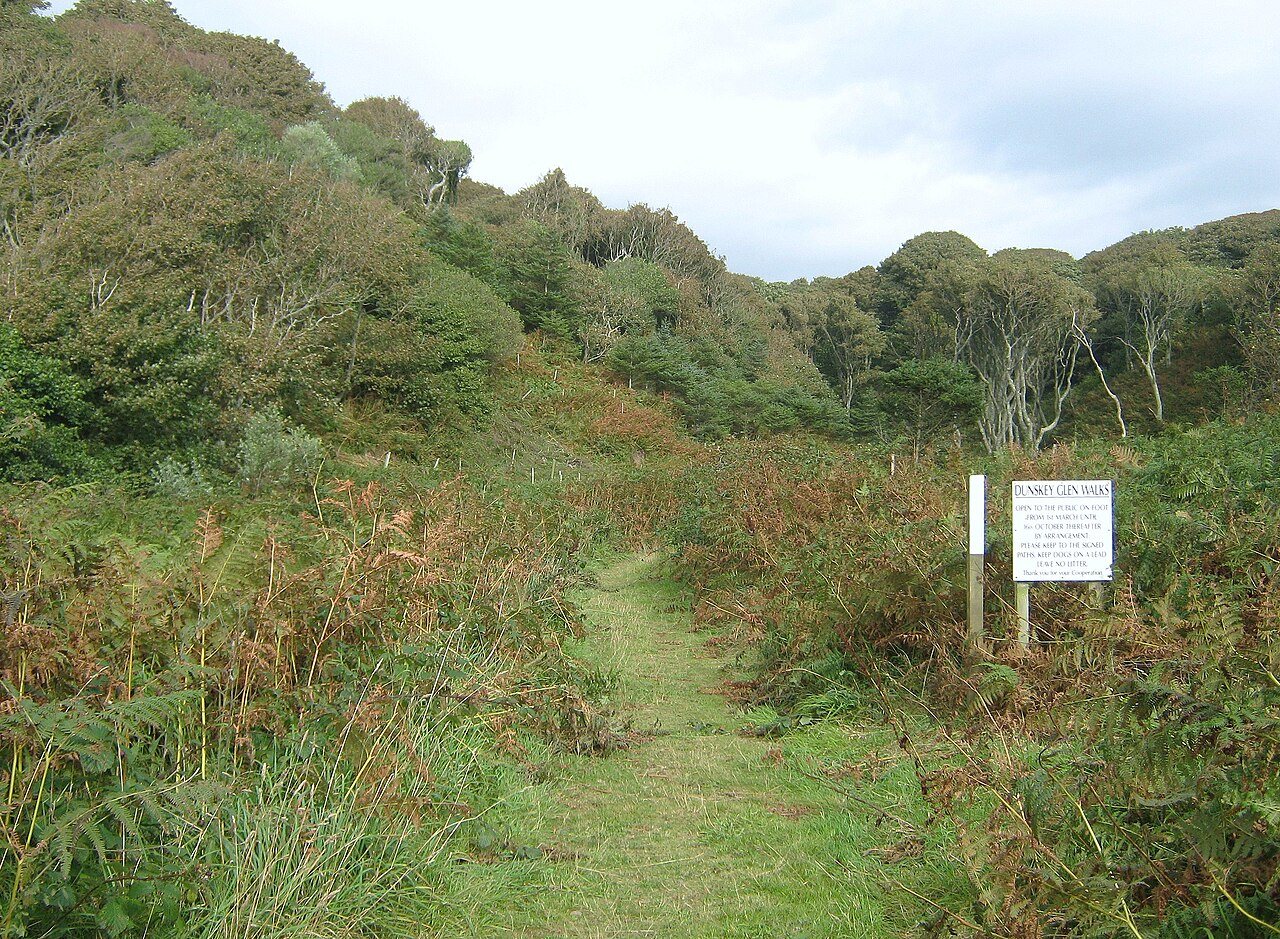
Dunskey Glen gives a Portpatrick outing a woodland dimension. The official circular walk links a cliff-top approach and small coves with a wooded burn valley before returning towards the village. It is a walk with real changes of height and surface, rather than a sheltered garden path added to the harbour.
Read the whole loop first
The official description gives a circuit of about six kilometres beginning and ending in Portpatrick. Its shape matters as much as the number: there are steep steps, cliff paths and a wooded ascent before the road-side return. Check the current route and any local notices for the date of your visit.
A loop can commit you to terrain you have not yet seen. If you are unsure about the conditions or anyone's confidence, choose a known shorter outing instead. Avoid assuming that the word 'glen' means the whole walk is gentle, dry or protected from the weather.
Notice the transition in sound and shelter
The open coast invites broad views, while the glen draws attention to the burn, tree cover and smaller details. Use that contrast to slow down: listen to water and look at the changing shade, rather than measuring the woodland only as the route back.
Wet leaves, roots and mud can affect footing, particularly after rain. Keep your attention on the path where it narrows or slopes, and stop in a wider place before looking closely at the scenery. The sound of a burn does not tell you how safe or accessible its banks are.
Keep the story and the route distinct
The coves near the walk contain historical features and local stories, including the cable building at Port Kale. Interpretation can add context, but tales associated with caves should remain tales, not encouragement to enter or explore them. Follow the established route rather than chasing every detail down the shore.
Allow enough daylight for the full return and carry what you need if village businesses are closed when you finish. If you bring a dog, consider livestock and wildlife as well as the narrow sections of path. A comfortable circuit is one whose terrain, weather and timing suit the people actually walking it.
A couple of practical questions
Is Dunskey Glen a short level walk?
The official circuit is around six kilometres and combines coast, steep ground and woodland. Its name should not be taken as a promise of a level or universally accessible path.
Can I substitute the walk's description for a current map?
No. Use current route information and a suitable map together, observing any on-site notices. A narrative introduction explains the outing but is not enough for navigating every junction.