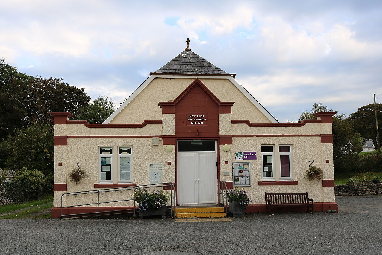
New Luce offers an inland change of scene from the harbours and exposed headlands around Stranraer. The village's river surroundings and community projects suggest a slower kind of visit, with time to notice water, woodland and everyday village life. A short pause needs less preparation than a countryside circuit, but the two should not be confused.
Give the village a clear role
Choose whether you are stopping during a road journey, meeting friends or beginning a researched walk. Each needs a different parking or transport arrangement. In a small village, a convenient-looking space may be required for a house entrance, delivery or community activity.
Look from established public places and let the river setting shape the visit. After rain, water levels and banks can be less welcoming than a photograph suggests. Keep children and dogs well back from the edge, and do not assume that a riverside view includes a continuous public path along either bank.
Understand a community landscape
New Luce Community Trust has recorded work on green spaces, including the redevelopment of a former curling pond as a wildlife and nature area. That history adds an interesting layer: land once used for recreation in cold weather can take on a different purpose for people and wildlife.
Project reports describe work at particular dates. They are useful background, but do not guarantee that a path, seating area or facility is available exactly as described when you visit. Consult current local information if the green-space stop is central to your plan or if you need a firm, step-free route.
Keep proposals separate from completed paths
The community's action plan includes ambitions for riverside pathways. A proposed improvement is not an existing walking connection. This is especially important when drawing a loop between the village, a pond and the surrounding countryside on a small screen.
Use a current published route for a longer walk and check where it joins roads, farmland or the Southern Upland Way. If no suitable circuit has been established for your group, finish with the village visit instead. You can still gain a sense of the inland landscape without turning a pleasant pause into navigation through unverified paths.
A couple of practical questions
Can I use the community action plan as a walking map?
No. It records priorities and proposed projects as well as existing places. Use current route information for navigation and confirm that a suggested connection has actually been completed.
What is the former curling pond's relevance?
It connects local recreation history with a later wildlife-area project described by the community trust. Check current access before planning a visit around that particular site.