Soleburn appears on local Loch Ryan birdwatching maps along the western, A718 side of the loch. It is a useful name when orientating yourself between Stranraer and the Kirkcolm area, but a map label is not a complete description of visitor facilities. Plan where you will stop and what you hope to observe.
Locate the right side of the loch
Use a map showing both shores, since the opposite coast contains other recognised observation areas. Soleburn, Wig Bay and the eastern Innermessan area should not be merged into one location because they all overlook Loch Ryan. Their access and viewing directions differ.
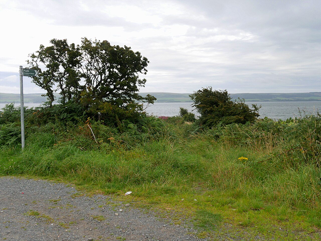
Before leaving the vehicle or bus route, identify a lawful public access point and the return. Do not stop abruptly for birds beside the road or leave a car where it narrows the carriageway. A sighting is not a reason to block a driveway, field gate or operational entrance.
Observe the habitat in front of you
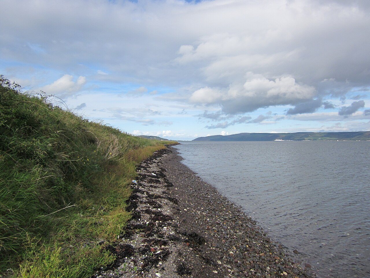
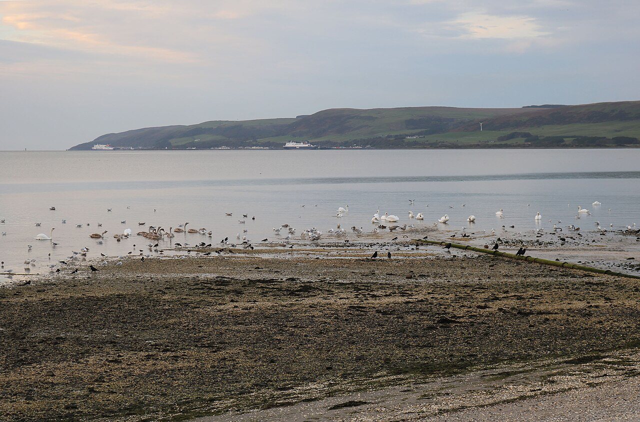
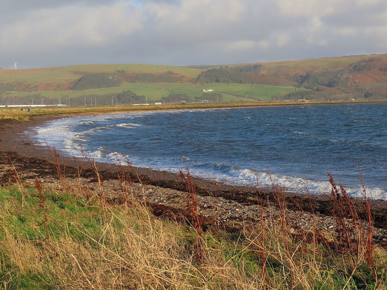
The value of a shore stop is partly the chance to compare water, exposed ground and the strip above the tide. Look at where birds feed and where they rest. A beginner can learn a great deal by following the behaviour of one group rather than repeatedly scanning for rarities.
A distant bird may remain unidentified, especially in poor light. Note its size, shape, movement and position, and be content with a broad description when the evidence is insufficient. Do not climb onto uncertain ground or advance onto the shore merely to turn an incomplete identification into a definite one.
Use local guides as background
The Solway Firth Partnership's birdwatching guide places several viewing areas around the loch, helping you choose a sensible sequence. Such a guide is not a live report of the birds present today, and older facility information should be checked before you rely on it.
For a compact outing, choose this part of the western shore and one other nearby purpose, rather than racing around every listed point. Check the tide and daylight, carry the optical equipment you need, and allow time to look from a stable position. If access is unclear, continue to a better-documented public stop instead of forcing a way to the water.
A couple of practical questions
Does a birdwatching map symbol mean there is a hide or visitor centre?
No. It identifies an observation area, not a guaranteed set of facilities. Confirm parking, public access and any access requirements separately.
Should I follow an old rare-bird report to Soleburn?
A dated record can be interesting evidence, but does not establish that the bird is still there. Plan a general habitat visit and use current information without crowding or disturbing wildlife.